
Winter Storm Warning Issued for Large Portion of Missouri, Southeast Kansas
The National Weather Service has issued a Winter Storm Warning for a wide area of Missouri and southeast Kansas, effective from 6 p.m. Friday through 6 p.m. Sunday.
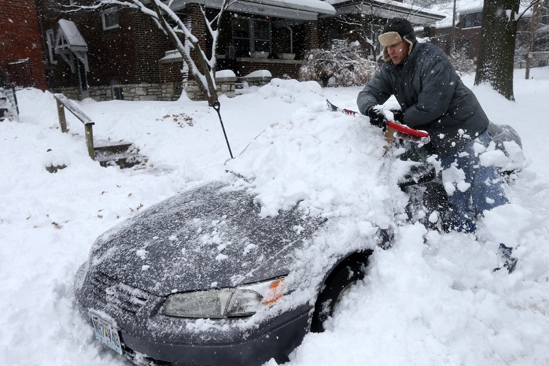
Forecasters say heavy snow is expected, with total accumulations ranging from 6 to 12 inches. The heaviest snowfall is forecast along and south of Interstate 44, while lower totals are expected across central Missouri. Areas near the Missouri-Arkansas border could see periods of sleet mixing with snow.
Counties included in the warning span much of the region, including Bourbon, Crawford, Cherokee, Benton, Morgan, Miller, Maries, Vernon, St. Clair, Hickory, Camden, Pulaski, Phelps, Barton, Cedar, Polk, Dallas, Laclede, Texas, Dent, Jasper, Dade, Greene, Webster, Wright, Newton, Lawrence, Christian, Douglas, Howell, Shannon, McDonald, Barry, Stone, Taney, Ozark and Oregon counties.
Officials warn that travel could become very difficult to impossible, especially during periods of heavy snowfall. Very cold temperatures, expected to fall into the single digits, combined with wind chill values below zero, will increase the risk of exposure.
Motorists are urged to avoid travel if possible. Those who must be on the roads should prepare for potential emergencies, including the possibility of becoming stranded in extreme cold.
Drivers are encouraged to carry extra food, water, and a flashlight in their vehicles. For current road conditions, travelers in Kansas can call 511, while Missouri motorists can call 1-888-275-6636.
Residents are advised to monitor local forecasts and updates as conditions may change.


