
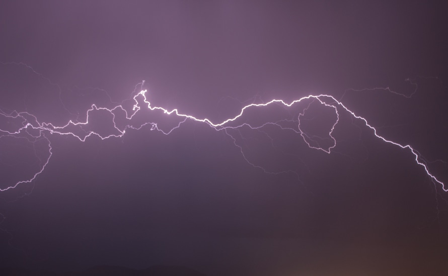
The National Weather Service in Springfield has listed most of our listening area to be under a 3/5 or “enhanced risk” area in regards to the storms likely to hit after dark tonight.
According to the latest information packet from the NWS, much of our listening area is expected to hit the worst part of today’s storms in the roughly 11pm to 1am time frame, with potential risks including flooding, large hail, damaging winds, and possible tornadoes.
Much of the most dangerous areas under this enhanced risk take place in the western reaches of our broadcast radius, with risks easing in eastern Oregon county. Those with the highest risk of tornadoes are those in the northwestern corners of Texas County, most of Wright County, and a fraction of western Douglas County. Wind speeds for the overall area are expected to be topping at roughly 70mph.
Read below for a full breakdown.
DssPacket 4-1-24


